P·11 · Mechanical
Drone Photogrammetry for Flood and Runoff Modeling
Drone photogrammetry turned into a georeferenced 3D surface for flood modeling, anchored with ground control points for about 10 mm accuracy.
At a glance
- 500 → 10 mmtypical accuracy without vs with ground control points (AeroPoints rating)
- Field-validatedthe model predicted where rainwater puddled and flooded
- Where
- Geolabs, Inc.
- Role
- Drone surveyor
- Status
- Complete
- Drone photogrammetry
- DJI Mavic 3 Enterprise
- Flight planning
- Ground control points (Propeller AeroPoints)
- Propeller Arrow
- Surface runoff analysis
- Technical writing (SOPs)
This is a separate study from the 360° survey drone I built for Geolabs. It used a commercial DJI drone and ground control points to produce survey-grade models.
The problem
Geolabs, the largest geotechnical firm in Hawaii, needs to know where water goes on a site before it gets there. Traditional drone surveying for this can be complex, slow and expensive, and it often needs specialized training and equipment. The DJI Mavic 3 Enterprise I used was new to the company.
Approach
Make the survey repeatable
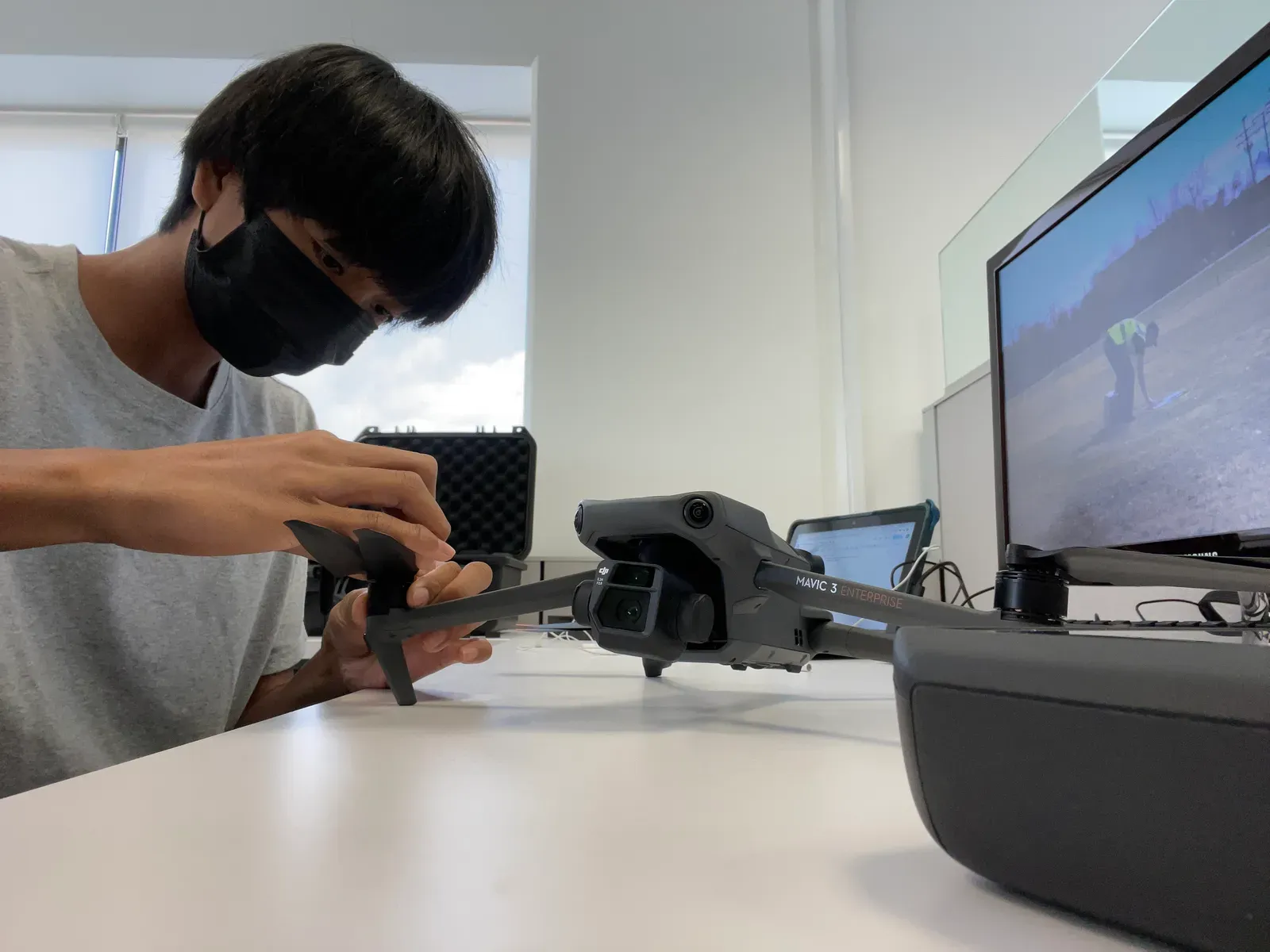
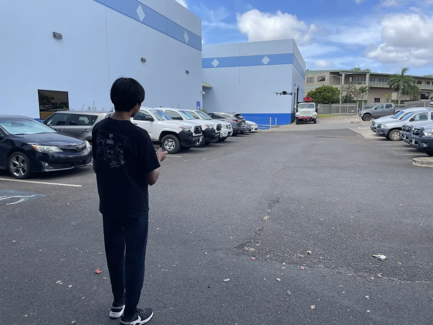
Because the drone was new to the company, I first wrote a manual covering setup, operation and safety, so other employees could fly surveys without me.
Plan flights for fewer photos
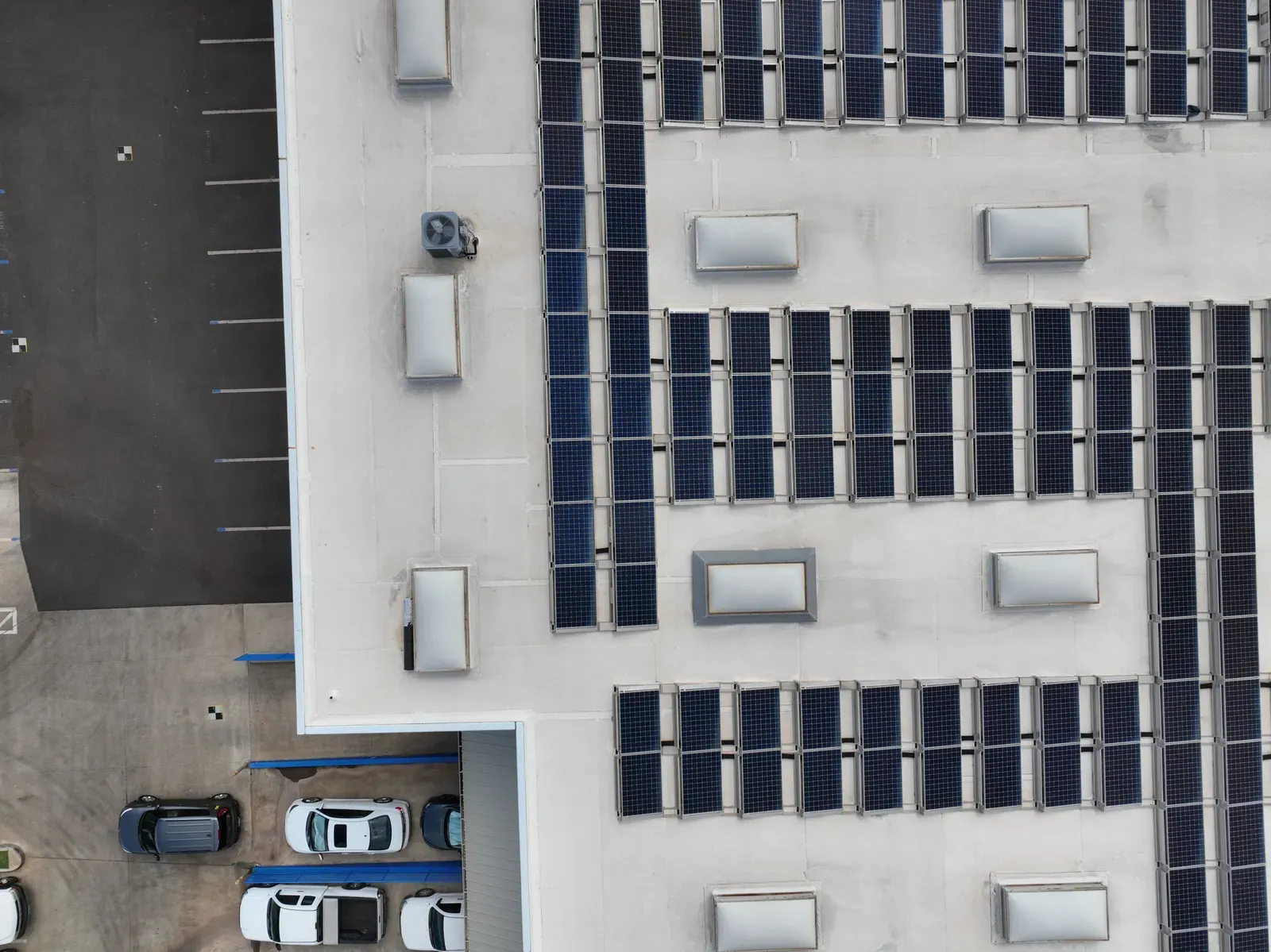
I programmed the flight paths in the DJI Fly 2 app to minimize the number of photos while keeping enough coverage of the ground control points, inside the drone’s flight time. Fewer photos means faster processing, but too few leaves holes in the model.
Anchor the model with ground control points
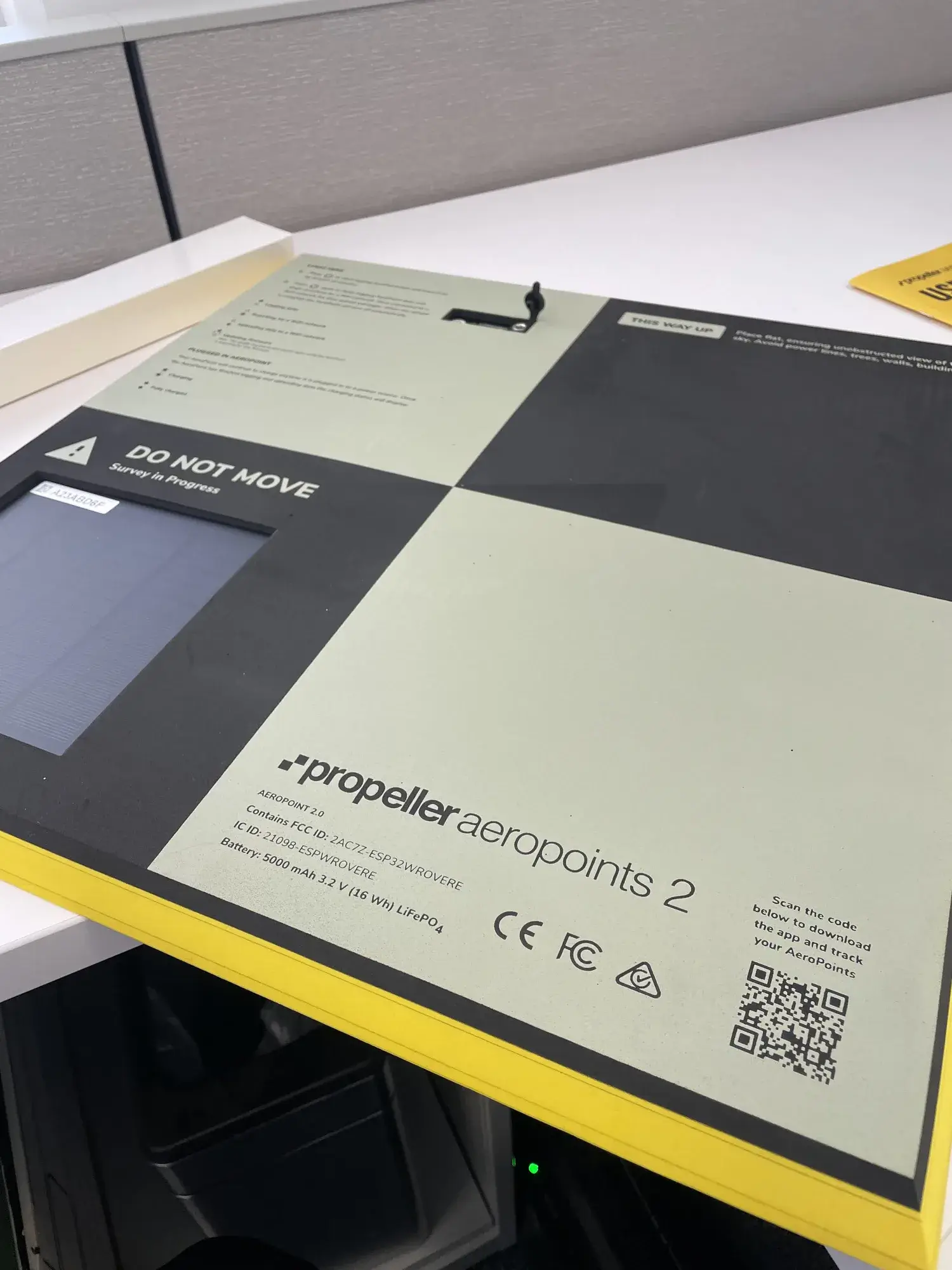
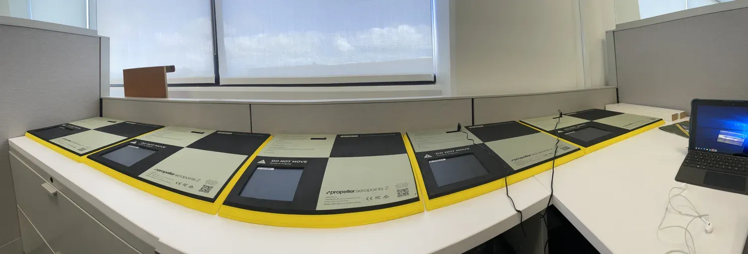
Photogrammetry alone floats: the reconstruction has the right shape but can be off by a large distance in real-world coordinates. Ground control points are physical markers placed at known geolocations that the software references during processing. Geolabs had not used them before. I placed and referenced Propeller AeroPoints across the site. With them, photogrammetry accuracy goes from roughly 500 mm to about 10 mm, the accuracy AeroPoints are rated to deliver.
Engineering detail: from photos to flow
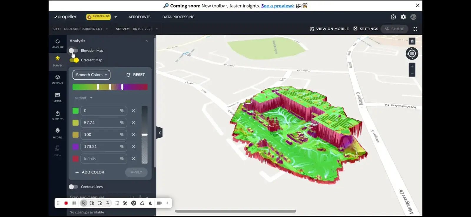
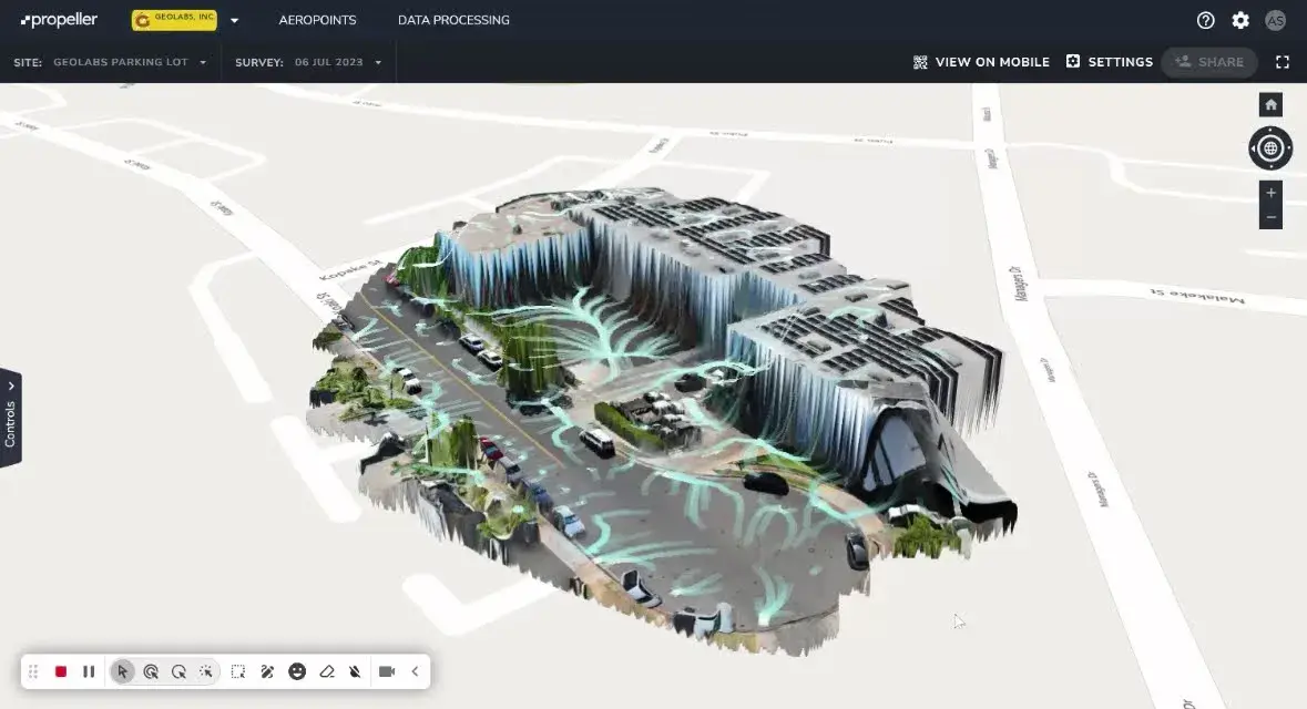
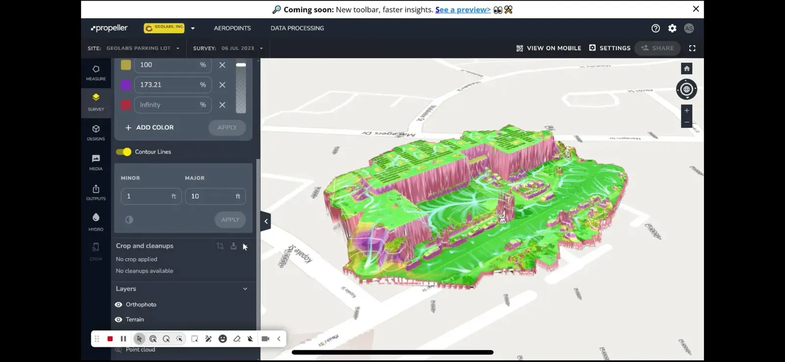
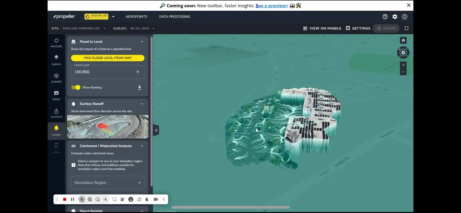
I processed the imagery in Propeller into a georeferenced 3D model of the site. Propeller’s analysis tools then run on that surface:
- a gradient map that colors the surface by slope in percent;
- surface runoff, which traces the downhill flow direction across the model;
- flood to level, which shows what floods at a chosen water elevation.
Results
- Brought ground control points into Geolabs’ survey workflow for the first time, for roughly 10 mm accuracy instead of about 500 mm.
- In the field, the model correctly predicted where rainwater would puddle and flood.
- Geolabs now uses these 3D models on rockfall-mitigation projects to map mountain slopes and plan protective nets and structures.
My contribution
I wrote the setup, operation and safety manual, planned and flew the surveys, placed the ground control points, and processed the models in Propeller.
Gallery
2 images